Methods of Control of Flood

Controlling floods involves implementing various measures and strategies to mitigate the impact of flood events. Here are some common methods for flood control:
Watershed Management and Afforestation:
Watershed management involves implementing strategies to protect and restore natural landscapes that contribute to water sources. Afforestation, or planting trees and vegetation, helps increase water absorption and reduce surface runoff. For example, in the Loess Plateau region in China, the "Grain for Green" project was implemented to combat soil erosion and reduce flooding by converting steep farmland into forests and grasslands.
Construction of Dams and Reservoirs:
Dams and reservoirs play a crucial role in flood control by regulating water flow. For instance, the Three Gorges Dam in China, the world's largest hydropower project, serves multiple purposes including flood control on the Yangtze River. The dam's storage capacity helps to control flood peaks and release water gradually during heavy rainfall events.
Channelization and River Training:
Channelization involves modifying natural river channels to improve their capacity and flow efficiency. The Mississippi River in the United States is a notable example of river channelization efforts. The river has been subject to extensive engineering interventions to control flooding, including levees, flood control channels, and floodways.
Drainage System Improvement:
Enhancing the urban drainage system is crucial for flood control in urban areas. For instance, the Tokyo Metropolitan Area in Japan is prone to heavy rainfall and typhoons. The city has implemented an extensive underground stormwater storage system called the Metropolitan Area Outer Underground Discharge Channel to address this. This system collects excess stormwater during heavy rainfall and releases it slowly to prevent urban flooding.
Floodplain Management and Zoning:
Floodplain management involves regulating land use in flood-prone areas to reduce the impact of flooding. The Netherlands is known for its comprehensive floodplain management approach. The country has implemented a system of dikes, flood control channels, and flood-resistant building practices. Additionally, land-use zoning ensures that high-risk areas are designated for flood storage or restricted from development.
Flood Warning Systems and Emergency Preparedness:
Flood warning systems provide timely information to communities at risk of flooding, allowing them to take necessary precautions. For example, the Flood Forecasting and Warning System in Bangladesh utilizes rainfall and river level data to issue alerts and evacuation orders. The system has been instrumental in reducing flood-related casualties and damage.
Levees and Flood Control Structures:
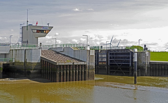
Levees, floodwalls, and embankments act as barriers to redirect floodwaters away from populated areas. The Netherlands, known for its extensive flood control infrastructure, has constructed numerous levees and flood control structures along its rivers and coastlines. The Delta Works project, including the famous Afsluitdijk, protects the country from storm surges and high water levels.
Floodplain Restoration and Natural Flood Management:
Restoring natural floodplains and implementing nature-based solutions can help mitigate flood risks. The "Room for the River" project in the Netherlands is a prime example. It involved strategic interventions such as creating floodplains, removing barriers, and widening river channels to increase flood storage capacity and reduce flood levels.
These examples illustrate the diverse approaches used in flood control. It's important to note that effective flood control requires a combination of measures tailored to the specific characteristics of the region, including its hydrological conditions, land use patterns, and climate. Integrated approaches, considering both structural and non-structural measures, are essential for comprehensive flood management and reducing the impact of flooding on communities and the environment.


